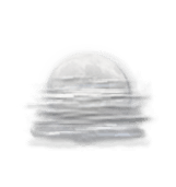
Today in Merbes-le-Château,warning:reduced visibility early in the day. Fog developing into low cloud during the morning, good clear periods with lots of cloud in the afternoon. No precipitation. Light winds.
We are 75% sure of the situation, because the high pressure system could move in more quickly than forecast.
Temperatures will vary between 12 and 22°C.
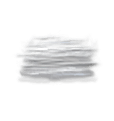
Tonight,clear spells, risk of mist forming. No precipitation. Light winds.
Beobachtungen
Station Maubeuge liegt 15 km von Merbes-le-Château entfernt